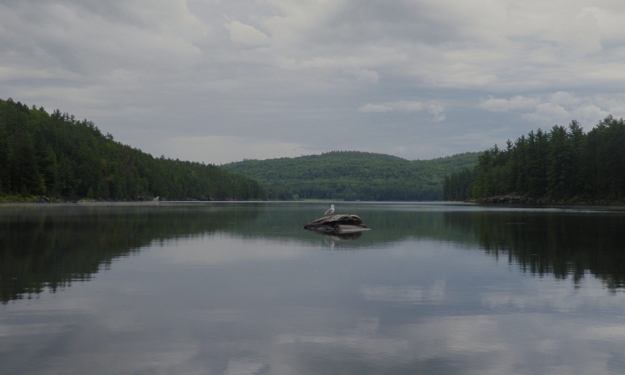
After a cold night we had a cool morning, but it was bright and sunny, with not a cloud in the sky. It made for an excellent backdrop to paddle through the scenic rocks of the bay. We were lucky again and there were relatively few power boats out and about that morning. Rather than heading directly for the portage we stopped to find a geocache on the south LaCloche ridge. I’ve been wanting to find this cache for years, but never had the opportunity while in the area. The cache is at the peak of the ridge between McGregor Bay and Baie Fine, but there’s a well marked trail that leads to the top.
Since we’d be away from our canoe for a while we hung our food at the base of the trail before heading up. We’d been doing some long portages, and by now they were starting to feel easier. When we started the trip each trail left our muscles burning, and while it wasn’t easy yet, we felt a lot more confident. Perhaps that’s why we were a bit cocky about climbing the hill. After all, we weren’t going to be carrying our packs or the canoe, so it seemed easy. We started moving up the trail pretty quickly, but we were soon heating up and running out of breath. By the time we stopped to catch our breath I was feeling the burn in the large muscles of my legs.
The pain is definitely worth it though. At each turn of the trail we were rewarded with a better view of McGregor Bay far below us. Hundreds of islands forged by glaciers from pink granite dot the sparkling water far below. Even the trail itself is spectacular. It winds back and forth up the mountain across exposed rock faces and through tiny chasms and between huge quartzite boulders. It’s relatively well marked, but at times it can be moderately challenging to follow. Once you get to the top not only can you see McGregor Bay, you can look across the other side of the hill and look down on Baie Fine. Even if you aren’t a geocacher this excursion is definitely recommended.
After returning to our canoe we headed west down the bay rather than turning east back into the park. Returning to the park immediately involves a very scenic paddle down Kirk Creek, followed by a brutal portage from Three Narrows Lake to Artist Lake. Affectionately known as “The Pig” this is one of the toughest portages in the park. We’d already done three of the worst portages on this trip so we opted to cross the ridge to the west instead. At almost one kilometre this isn’t a trivial portage, but it is almost completely flat which is much easier.
The portage leads to Baie Fine, one of the largest freshwater fjords in the world. We’d seen Baie Fine earlier in the day when we hiked to the top of the ridge. We’ve visited most of the ridges in Killarney, and while I was expecting great scenery I wasn’t really thinking it would seem different than other places we’ve visited. Killarney’s ability to surprise is seemingly endless, and I was blown away yet again by the unique geography in this area. I kept turning around to see the sun sinking low over the tall hills flanking either side of the long wide channel behind us.
Baie Fine was the largest water that we paddled on the trip, and was considerably rougher. It was still relatively easy because there wasn’t much of a wind. And while we occasionally passed motor boats and large sailboats there was enough room that they didn’t disturb us.
After the fjord we ducked back into the park and into a narrow channel that leads towards “The Pool” which is a popular anchorage amongst the boating crew. We took the first campsite in the small channel to avoid the crowding further upstream. There’s another campsite directly across the channel, and it was occupied, so these were our closest neighbours of the trip. The site isn’t spectacular, but it has a great view of the sunset and the sunrise up and down the channel, and was amply provided with firewood.

