I awoke to another spectacular sunrise, but unlike the morning before I had to share it with a family doing some early morning fishing in a large motorboat. Such is life out on the bay. We had our last big day ahead of us so we packed up and got moving pretty early.
On the map the journey from McGregor Bay to Grace Lake doesn’t look that tough until you reach the 2.5 Km portage to Nellie, followed by the 1.7 Km portage to Grace, but in practice the short portages and paddles on Low and Helen Lakes take some time.
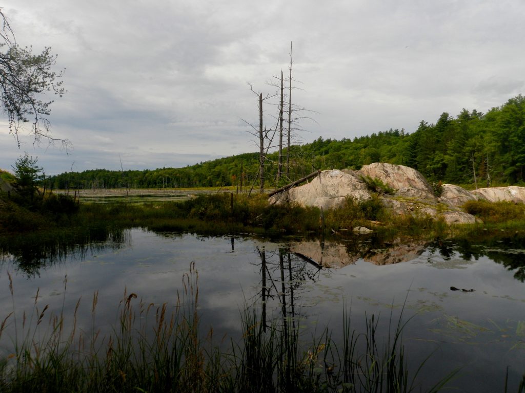
We didn’t start the day in good form. I wasn’t checking the map and we started to look for our first portage out of McGregor Bay in the wrong spot. The portage leads to a beaver pond chocked with lily pads. The take out for this portage is pretty mucky, and there isn’t a good place to store the packs while unloading the canoe so we just carried them directly to the other end. Navigating the beaver pond is a bit of a challenge as well since the route isn’t travelled frequently enough that there’s an obvious path through the lily pads, and the portage isn’t visible until you’re quite close. The trail guide suggests following a compass bearing, I just referred to my GPSr.
After paddling a small but pretty channel there’s a short but steep portage that rises to a bay on Low Lake. Low Lake is very pretty, but it is obstructed by many log jams so the course through the first part of the lake snakes back and forth quite a bit. The guide book warns that you may need to lift over or portage around some of these logs but water levels were high enough that we were able to glide over by nudging them underwater.
The portage from Low Lake to Helen Lake is also a campsite. While this is quite common in Algonquin it’s rare in Killarney. The portage and campsite are both housed on a smooth slab of white quartzite. It’s quite a pretty spot, and the views and access to both lakes are nice.
Even though there are cottages on Helen Lake we didn’t see any evidence of them. We contemplated a side trip to Ishmael Lake since the guidebook mentions that it has a great view of the LaCloche Hills, but it would have taken us quite a while so we decided to pass and head straight for the portage to Nellie.
Both of the remaining portages were quite long so we decided to try a single carry to save time. Alex took two packs (as he had been for a while) and I took the remaining pack and the canoe. After having such a light load on so many portages it was a bit tough to get used to carrying pack and canoe again.

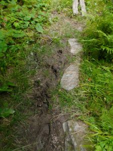
The first stretch is fairly flat, but also muddy. At one point we saw gashes cut in the ground where a bear had followed the portage for a few hundred meters. When we got to Faux Lake we decided to try to shorten the portage by paddling the beaver pond. It isn’t always possible if water levels aren’t high, but portaging the canoe on top of (or below) the beaver dam is supposed to be quite difficult. We were in luck and were able to paddle across the pond without problem. After that it’s an 80m vertical climb to the peak followed by a 30m drop back down to Nellie Lake.
I tried to push all the way to the peak of the portage before taking a break, but after a while the pressure in my chest, the bite of the straps of my pack, the heat, and the relentless hill took their toll and I had to drop my load. It took so long to catch my breath that I was beginning to wonder if there was any time saved by doing a single carry. In the end the whole portage took us around 1h 45m which is the reference time on Jeff’s Map, so I guess we did ok. Unfortunately we goofed when we stopped to take a break and we dropped a life jacket, so Alex had to run back half way to retrieve it.

We spent a bit of time looking for the stone icehouse that’s marked on Jeff’s Map, but we couldn’t find it. Then while Alex ran back for the life jacket I spotted the icehouse right next to where I’d put the canoe down. It’s not a very impressive (or obvious) structure, just a ring of stones in the ground. I’d still be interested to learn a bit more about this building. We did find various bits of metal as we looked for the icehouse, some of which looked like vehicle parts, but they were partially buried so it was hard to tell.
We were making good time so when we got to Nellie Lake we did a bit of exploring. There’s a peak on the peninsula that separates the main body of Nellie Lake from the bay that’s referred to as Carmichael Lake. The peak is easy to climb and offers a great view of the area.
Nellie Lake has a trick. The azure water of the lake is crystal clear and under the right conditions you can see all the way to the bottom. Unfortunately for us, while the day had started out bright and sunny, by the time we got to Nellie it was grey and threatening rain. Nellie Lake needs the sun to show off it’s clear water. Even without its trick Nellie is one of the most scenic lakes in the park. It’s very long and narrow, with steep white shores like a Norwegian Fjord. Our vantage point on the small peak gave us a great view to observe the entire lake. The water was a bit choppy, and we could watch patches of wind cut the surface up into different patterns as they swept across the lake.
There are only three campsites on Nellie Lake, but we saw several groups of people. As we neared the portage to Grace Lake we met a mother and son on their first canoe trip, finishing the tough portage. The young boy looked to be about nine or ten but he was very engaged in the trip and had the guidebook in hand. He was asking about several landmarks he wanted to see in the area. It’s always nice to meet different kinds of groups enjoying the backcountry.
The portage from Nellie to Grace starts out like a ladder, going almost straight uphill, but after a relatively short climb it’s all downhill to Grace Lake. It’s a very scenic portage, but I didn’t get much of a chance to look around this time because we were doing another single carry. I didn’t realize it at the time, but when we stopped at the highest point of the portage to take a break we were only a few metres from one of the hidden “Paddle In The Park” paddles. The paddles are hidden to encourage people to get out in the parks, and for a disgruntled geocacher like me finding one would be a real thrill. Not only have I been too busy with renovations this summer to follow the contest, the hint that clinched the location of that paddle was released that very morning, so even if I had been following I wouldn’t have read it.
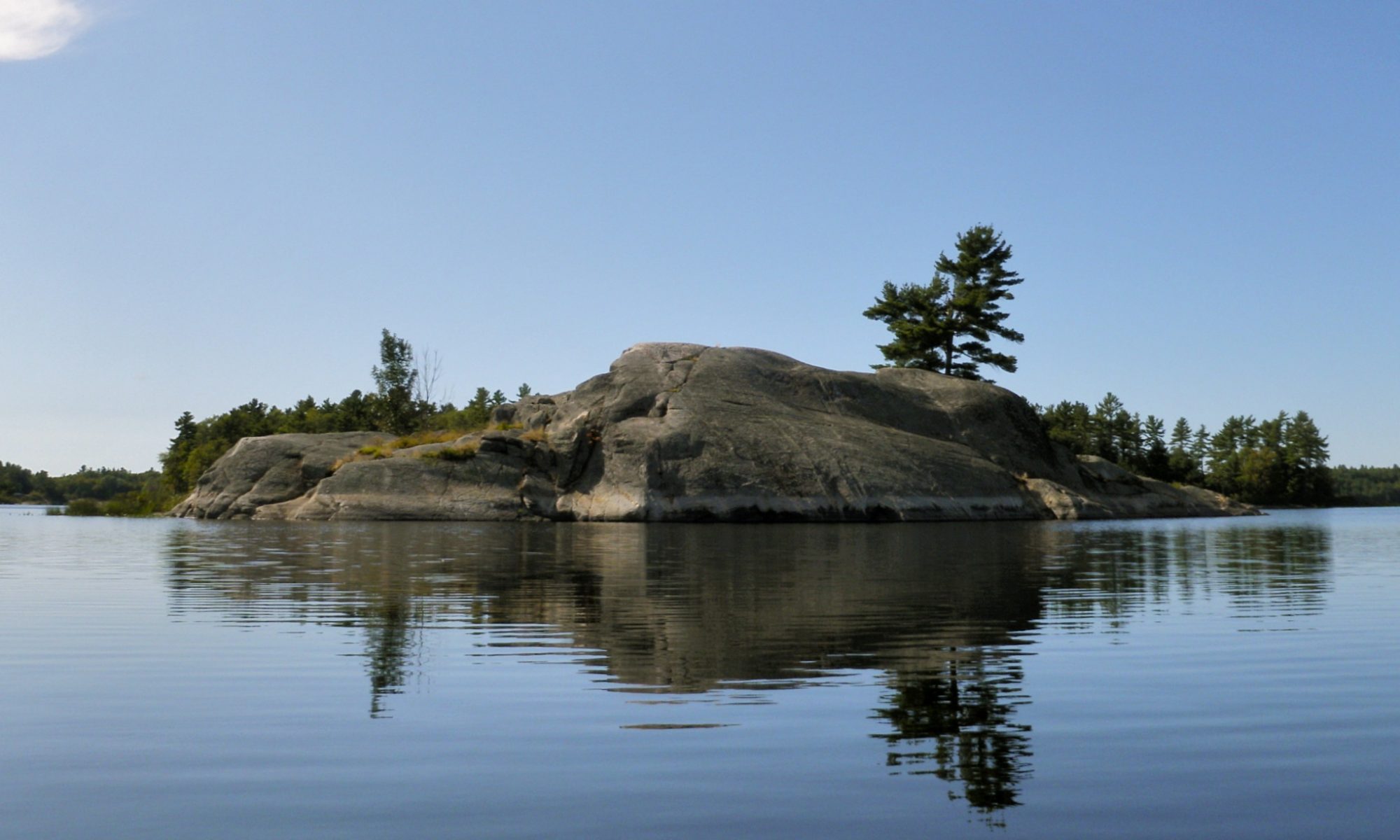
Grace Lake is a dramatic, intimate place that embodies the rugged beauty that is Killarney. Perched atop the northern LaCloche hills high above the land below it’s ringed by steep rounded peaks. Small rocky islands covered in trees are scattered across the water. We chose site 180 at the western end of the lake which offers an excellent view of the sun rising between the peaks we had just portaged the canoe over. While the site does offer great views we weren’t able to find a thunder box which may be a consideration when choosing this site (there are many paths at the site so it may be that we just couldn’t find the box).
Earlier in the day I had made the mistake of telling Alex that while Nellie Lake loves the sun, the moody gothic landscape of Grace is often prettiest in the rain and mist. As if on cue it started to rain that night and we saw very little sun for our two nights on Grace. The rain did hold off until we’d finished dinner and put the dishes away, so we felt pretty well prepared as we ducked under our tarp and watched the storm in relative comfort. The rain was soon strong enough that it quickly extinguished our fire, but we barely got wet.

