
I’ve wanted to snowshoe up Leadingmark Hill for a few years now. We even made an abortive attempt last year, heading in from the George Lake access point, but in the end we decided Leadingmark would be too far and just went to Cave Lake instead.
At 438m the peak of Leadingmark Hill isn’t the tallest in the park, but it is still one of the more respectable climbs, and since the base lies right on Georgian Bay the total elevation change of 262m makes it one of the taller hikes overall. And while the hill is at the southwest corner of the park it’s an area that isn’t travelled frequently so it promised to be relatively remote. It also promised to offer a great view of both sides of the ridge.
Approaching the hill from the Silhouette Trail is possible, but it makes for a very long hike, which is a bit more than we felt we could do in a day. I had an insight when I realized that we could hike in from highway 637 where it gets closer to the edge of the park. I contacted Ted East of Killarney Outfitters and asked if we could park at his store while we hiked up the hill and he graciously allowed us to do so. Ted also offered us some advice about the trip. He has an extensive knowledge of the area and not only gave us advice on trails, but told me a bit about the history of the area. He also said he thought that the trip might be a bit ambitious for one day, and he was right. But fools will go where fools wander, so up we went.
Finding The Hill
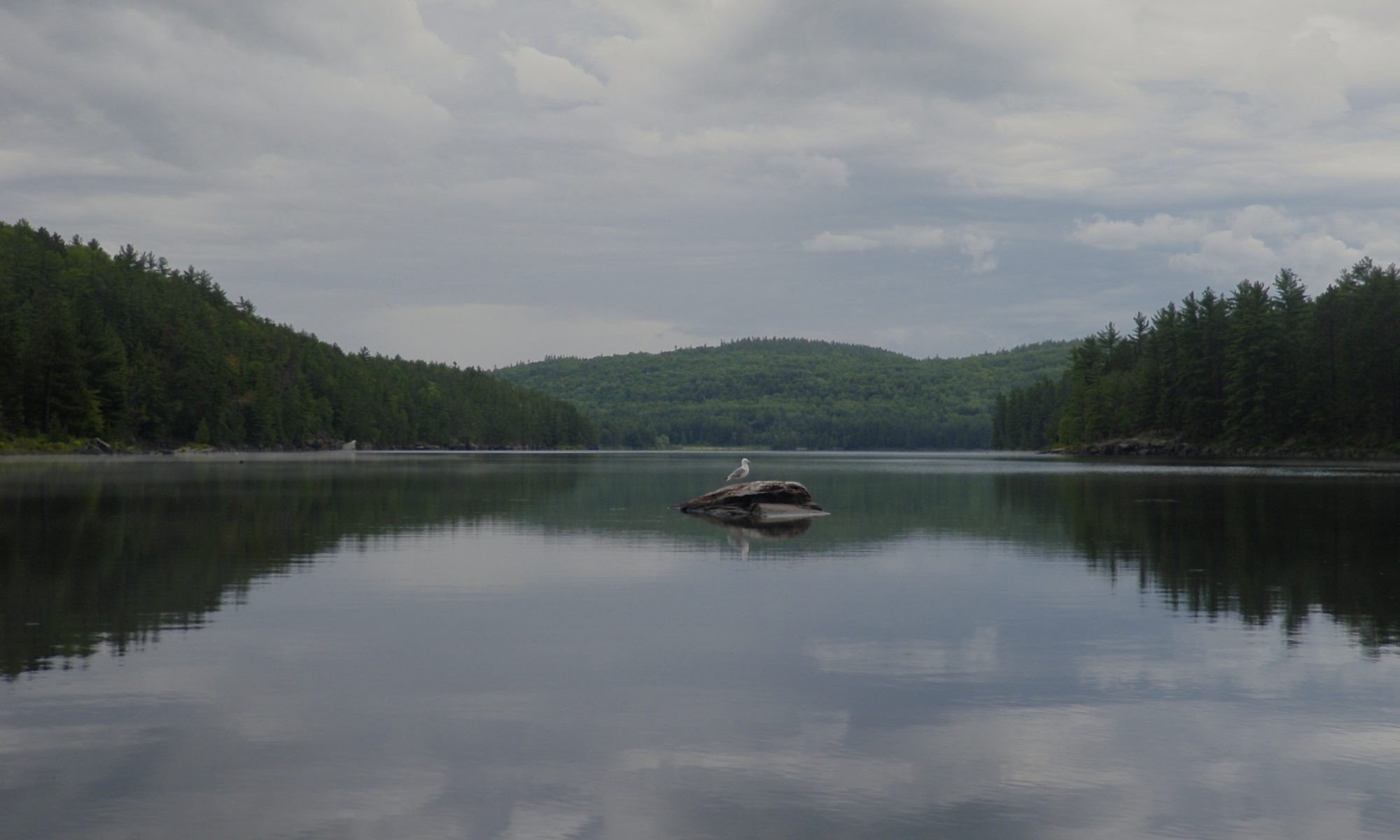
Despite an early morning start from Markham at 5:30 AM we didn’t manage to hit the trail until noon. The days being as short as they are at this time of year we were left with only five hours until sunset. We followed the skidoo/ATV trail from behind Killarney Outfitters until we reached De Lamorandière Bay. The trail follows the shore of a marshy meadow. Nestled between two small ridges the valley frames the distant foothills of Leadingmark as you approach.
We avoided the ice as much as we could, but we had to cross the creek at the mouth of the bay to get to the other side. There were three holes in the ice near the mouth, made by man or animal, but the ice itself was sound and we crossed safely, if cautiously. From here we started our first climb up a small rise that gave us a view of the bay.
There’s an old logging road marked on most maps from this point. I’d done some research and it seemed like the road was decommissioned sometime in the 60s and has been overgrown since then, but I figured it would make a good path to guide our route since the old road would have followed the easiest path over the hill. We followed the trail where we thought the road should be, but it truly is overgrown, and in some places it was impossible to tell where the road once ran. It was often easier to follow the many deer tracks than it was to find the old road. At one point we descended into a valley that was crossed by a ‘deer highway’ where many animals had been back and forth recently.
We didn’t get far before encountering another snowmobile trail that was running in roughly our direction, so we decided to follow it. It didn’t take long before it became evident that the snowmobile trail wasn’t following the old road. It kept curving further inland away from the hill. I was hoping that it would turn back to the left or cross another trail going our way, but it just didn’t happen. Not only was the trail well packed down, it was relatively flat, and at one point it even offered us a handy (but rickety) bridge to cross a small stream.
Originally I had worried that starting the trip out of the park would mean we’d encounter recreational vehicles that would spoil the backcountry experience, but we didn’t see a single person all day. And while it was easy travelling on the snowmobile trail it kept leading us away from our destination, so we finally decided to start bushwhacking and head towards the abandoned ‘road’. We followed another deer trail up a small ridge, and then across a beaver meadow dotted with small hillocks. This was the deepest snow we’d encountered so far and climbing up and down the many small lumps made for slow going.
On the far side of the meadow we encountered many more deer tracks and followed them in the general direction of the ‘road’. I spotted an obvious line along the base of the hill as we approached and it turned out that this was in fact the road. We even found some flagging tape and an old wire grown into a tree. We stopped here for lunch and I took the opportunity to strip off some layers of clothing because I was getting very hot. I hung the discarded clothes to dry while I ate before packing them away.
The Ascent
Our return to the trail also marked the start of our ascent. At this point the trail passes between two mounds of rock and starts going uphill. By now it was almost 2PM and we’d only just started to climb the hill. After we made our way through the first pass we lost the trail again. I can’t watch the GPSr constantly while wearing gloves, and when the trail isn’t obvious it’s easy to loose it. We found ourselves next to a tall rock face with no obvious way to climb up. We almost pressed forward, but I checked the map and noticed a notch in the contour lines and decided to backtrack a bit to where the road crossed the ridge.
We followed the rock wall a bit, then turned a corner and found a frozen waterfall with a steep but navigable trail up one side of the waterway. It seems a bit generous to call the path a ‘road’ at this point, but it was the only visible route up the cliff in sight so we took it. I’ve marked this area with a waypoint on the map because it’s critical that you go through this point to gain access to the top. The cliff forms a plateau that leads to a lookout above Sugarbush Lake. According to Ted it’s one of the longest plateau’s in the park so finding a way to climb it can be tricky.
We followed some animal tracks at the top of the hill, and after a while one of the prints was clear enough to make it obvious that we weren’t following a deer – there was a large clear canine print. Judging by the amount of recent snowfall (it was snowing at the time) the wolf had passed this way fairly recently.
The wolf wasn’t following the ‘road’ but it was heading towards the peak so we followed the tracks. He obviously knew his way around and several times the tracks led us between tight passes that allowed us to avoid more difficult climbs. Eventually we had to abandon the trail because the wolf wasn’t heading for the peak. We were climbing steadily, but every once in a while we’d climb a small hill only to find ourselves on a small local peak, and we’d need to climb back down and loose those painfully gained meters of elevation. You’d think navigating with a GPSr equipped with a topo map that these kind of mistakes could be avoided, but the resolution of the maps just isn’t high enough to see these small peaks. It drives home why it’s important to plan your route carefully to chose the shallowest slope towards the top to allow room for circumnavigating these obstacles.
While this part of the trip was the most physically and mentally demanding, it’s was also some of the most fun. It’s a rewarding challenge to pick your way up the slope and slowly see the trees drop away and reveal the vista below you. When you do get a glimpse uphill you can only see the next ridge, not the peak, making the map an essential tool. After a gloomy morning the sun was starting to shine through the clouds to the west. It was getting so late in the day that the sunshine was picking up a suspiciously pleasant golden glow. We started stealing glimpses at each lookout, worried that this would be our last view before the sun set.
We did get a few tantalizing glimpses of the landscape bathed in the golden light, but our last view with the sun up was at 4:45 PM, which was just a few minutes before sunset and almost two hours before we got to the peak at 6:30. We did reach a very nice lookout at 5:30 not long after the sun had disappeared, and we still had enough light to appreciate views of the town of Killarney, Manitoullin Island, and some glimpses of hills climbed on previous excursions. And even though we didn’t get to the true peak of the mountain until over an hour after sunset we still had enough light to see easily until we started to descend again.
Originally I had hoped to have time to walk along the top of the hill before we came down. Sometimes the peak that’s recorded on the map isn’t the tallest point, and some maps did make the west end of the ridge look taller, but I think this was only because the true peak is so localized that it doesn’t show up on the digital maps. Often the peak of these hills doesn’t offer the best view, and that was the case here. There was enough of a gap in the trees to see to the east, and a glimpse of Baie Fine could be had on the north side of the ridge leaving no doubt that we had reached the highest point. Ted had told us that morning that there were six markers on the mountain, to remember the victims of an airplane crash. I would have liked to look around for these as well, but it was now quite dark and we had a long way to go to get back to the car.
Descent
Descending from a mountain is usually faster than going up, and this was no exception. We decided to retrace our steps from the way up which meant we wouldn’t have to navigate or break trail. We got going so fast that I kept running out of breath and needed to take a break. It still took quite a while to return to the lookout that we passed on the way up, and by this time it was quite dark and we could see the lights of the town of Killarney below us. The moon was at a quarter and was casting bright shadows through the trees. I’d turn my light off when we stopped to take a break and drink in the stillness of the Killarney night.

I decided to take a detour after we descended the frozen waterfall. We had moved about a bit haphazardly on the way up, and I thought that it would be quicker to stick to the creek on the way down. This did work and we were easily able to find our original trail without having to take such a long path. I decided to try another shortcut after we reached the spot where we’d stopped for lunch on the way up. This is where we found the ‘road’ after a lengthy detour along a snowmobile trail and through a beaver meadow. I could shave a few kilometres off of our return trip as long as I stuck to the trail.
But sticking to the trail was easier said than done. We were following a deer path again, because often animals and men share the same roads, but whenever I’d pull out my GPSr we were drifting off the old road. We had a to descend one last steep hill, and then we were trudging through flat but monotonous terrain. I was really beginning to doubt my decision to return on a different path than we’d gone in when we found a skidoo trail. Not far along the trail we encountered a barn and firewood shed. I believe that this is one of the local ‘sugar shacks’ where the locals collect maple syrup.
My relief was short lived however, because the skidoo trail soon turned around and headed back the way we’d come. We kept going hoping either to regain the trail we’d followed in or to rediscover the lost ‘road’. We were only 150m from the path we’d taken in at the intersection of three creeks when we walked into a wall.
Between us and our previous path was cliff face. We’d just climbed 262m vertically, but ahead of us lay an impossibly sheer 20m barrier. And to our right was a river that was too wide to jump and ice that was too soft to risk walking on. The GPSr wasn’t being particularly clear, but it seemed like the only two directions we wanted to go were blocked. We were tired, it was dark, and we were literally stuck between a rock and a hard place.
We contemplated climbing the cliff. I thought about turning back, but feared a mutiny if I suggested it. The river hugged the base of the cliff, but I decided to get closer to see if there was any room to squeeze between the two. As luck would have it there was an area of relatively flat ground between the base of the cliff and the river. We trudged through this dodging trees and shrubs, ever mindful of the slope to the water below. We did spot a few places where we could have climbed the hill, but decided to press on.
And gloriously, we found it. Right where the map said the old road ran we spotted a snowmobile trail. A wooden bridge led up the hill and made a tough climb easy. At the top of the ridge there was a fork in the trail. At first I couldn’t tell which way to go, but after an exploratory trip down one path I soon spotted our own footprints from earlier in the day.
After that, it was relatively easy. We still had almost 2 Km to the car, and the temperature had dropped from a comfortable -10 to almost -20. I still didn’t feel the need to replace the layers that I’d shed earlier. Walking that much makes a lot of heat and even though we were taking lots of breaks I was still warm.
The only times I’d really felt cold all day was when I’d take my mitts off to eat or use the camera. Stuffing them back on would give me relief from the cold within a few minutes. But when we got to the car I peeled off my frozen clothes to change into something dry for the drive home and my hands started to ache from the cold. I was fumbling at the straps of my snowshoes to get them off and didn’t finish changing because of the pain in my fingers. Even in the warm car it took almost 45 minutes before they started to feel normal, and I had several muscle cramps as I tensed against the cold that I hadn’t felt all day. It took half an hour before my hair had thawed enough to start picking out the various twigs that I had picked up.
Even the drive home was a bit painful. The roads were covered in snow, and we got caught behind one slow moving plow on highway 637 and another just outside of Barrie. The bad conditions added almost an hour to the already long drive, and we arrived back home over 22 hours after we’d left.
Tips
- The climb can be attempted from the Silhouette Trail, but it will be longer. If you go the way we did you’ll be crossing private property, so be sure to obtain permission.
- One advantage of this trip in the winter is that it doesn’t require crossing any lakes so it can be attempted when the ice isn’t yet solid. (There is one creek crossing at the end of De Lamorandière Bay.
- If you do the trip in the winter you can rent snowshoes from The Friends Of Killarney Park at the camp office.
- Killarney almost never disappoints, but it often punishes. The scenery is unique and incredible, but a considerable amount of effort is required to make this trip. Make sure that you know how to navigate off trail because it can be quite challenging in areas even with a GPSr and a map.